Find what you're looking for
Open, sustainable geospatial solutions in real time.
We turn data into smart decisions.

Open, sustainable geospatial solutions in real time.
We turn data into smart decisions.
We are a GIS consultancy and software development company committed to transforming spatial data into real value for public and private organizations.
We focus on applied technological innovation, developing efficient and scalable geospatial solutions: interactive web viewers, spatial data infrastructures, automation and advanced GIS processing, spatial analysis and modelling, remote sensing and real-time spatial data systems.
We promote training and knowledge transfer to ensure sustainable, autonomous solutions over time. We prioritize commitment to territory, sustainability and responsible decision-making using geospatial technology as a key tool for positive impact.
Our values are technical excellence, data quality, transparency and trust in every project. We work closely with our clients from strategy definition to final implementation.
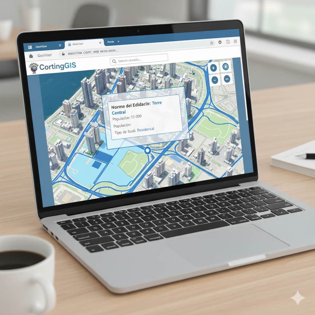
Turn complex geographic data into user-friendly web maps.
Custom web maps integrating data, filters and analysis in a modern interface. Technologies: Leaflet, MapLibre, GeoServer, PostGIS. Benefits: universal access, license-free, adaptable to any device.

Advanced geospatial processing for environmental and territorial analysis.
Satellite imagery analysis (Sentinel, Landsat) for vegetation cover, fires, deforestation or urban expansion. Automated processes and ready-to-publish reports.
Leave your email and we will contact you to start defining the requirements.